1
/
of
3
Backroad Mapbooks
Shushwap & Adams Lake
Shushwap & Adams Lake
Regular price
$19.95 CAD
Regular price
$19.95 CAD
Sale price
$19.95 CAD
Unit price
/
per
Couldn't load pickup availability
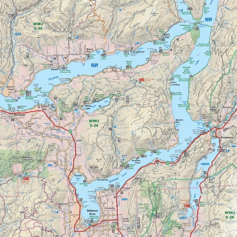
Covering all of Shuswap and Adams Lake, this British Columbia topographic recreation map highlights all the access roads and trails, recreation sites and campgrounds, trails for hiking, horseback riding, mountain biking, cross-country skiing and snowshoeing, fishing rivers and lakes, viewpoints, waterfalls and more! Printed at 1:110,000 scale, this map features our industry-leading topographic contours and relief shading. Included on the map are Adams Lake, Shuswap Lake, Salmon Arm, Anglemont, Anstey Arm, Blind Bay, Chase, Cinnemousum Narrows, Little Shuswap Lake, Magna Bay, Seymour Arm, Scotch Creek, Sicamous, Sorrento, St Ives, Tsutswecw Provincial Park, White Lake and more!
The printed version of the map is displayed at 1:110,000 scale on 61 x 91.5 cm (24 x 36 in) paper.
The printed version of the map is displayed at 1:110,000 scale on 61 x 91.5 cm (24 x 36 in) paper.
Share