Waterproof and tear-resistant hiking and recreation map for the Lake Louise and Moraine Lake area of Banff National Park.
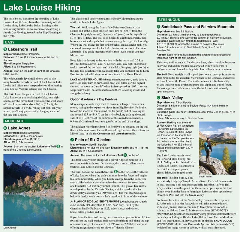
Designed for both locals and visitors, Gem Trek's 1:35,000 Lake Louise and Moraine Lake Map is a detailed relief-shaded topographic map of the Lake Louise area. Like all Gem Trek maps, the Lake Louise and Moraine Lake Map features detailed cartography and accurate hiking trails with distances, elevation gain, and directions to the trailhead noted. On the back of the map are descriptions of what to see and do at Lake Louise and Moraine Lake, descriptions recommended hikes, and trip planning information, including all the best ways to reach both lakes by public transit.
The Lake Louise and Moraine Lake Map focuses on the Lake Louise region of Banff National Park in the Canadian Rockies. Coverage extends from the Alberta/British Columbia border in the west to the Lake Louise Ski Resort in the east. The Lake Louise region is regarded by many as the premier hiking destination in all of the Canadian Rockies, and we've got all the best trails covered, including Lakeshore, Plain of Six Glaciers, Lake Agnes, the two beehives, Saddleback, Larch Valley, Eiffel Lake, and Consolation Lakes. An inset map on the back increases coverage of Lake Louise Village, with accommodations, the campground, and hiking trails marked. For coverage of a larger area of Lake Louise, see our Lake Louise and Yoho Map.